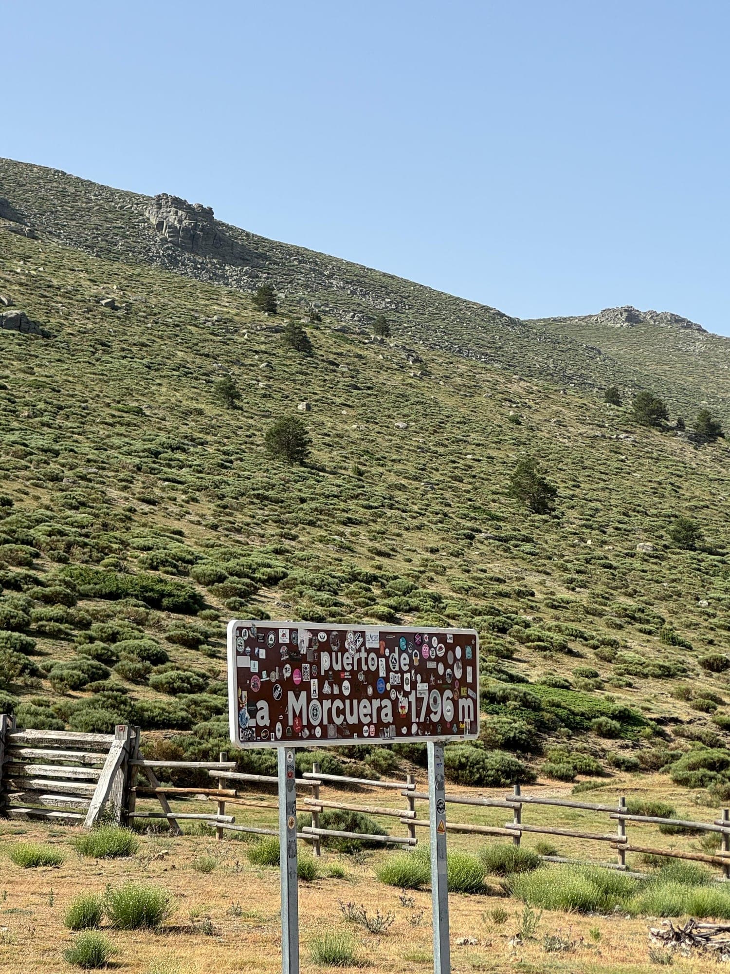
There's something absurd about leaving home in bib shorts, dodging a scooter at the first traffic light, and four hours later looking down at the Lozoya valley from the top of Morcuera. Madrid doesn't look like a city of mountain passes. But it is one. You just have to accept that the toll to reach the mountains is paid in asphalt, roundabouts, and a bike lane that on Saturdays looks like rush hour on the M-30 ring road.
This post is about that: how you actually get out of Madrid on a bike, what's waiting for you when pass season starts, and why linking up the sierra from the city, with no car, has something epic to it that no climb gives you if you drive up and park at the bottom.
For me, it all starts at the front door. I like opening the route from my own doorstep: carrying the bike down to the street, hitting start on the sidewalk, and knowing that everything that happens that day is going to come out of my own legs. No trunk, no parking lot, no shortcuts. And I like closing it in the same spot even more, hours later, with the sierra in my legs and the city around me again, as if I'd never left.
The funnel: the Colmenar bike lane
It all starts in the same place. Montecarmelo, Cantoblanco, the Autónoma. It doesn't matter which neighborhood you leave from: if you're headed to the northern sierra, you end up on the bike lane that runs alongside the M-607 toward Tres Cantos and Colmenar Viejo.
The numbers don't lie. From the start of the lane to the gas station in Manzanares el Real there's about 36 km and 550 meters of climbing. It's not a stroll. It's an endless false flat that tilts upward without warning, peaking at the Alto de la Encina, right at the entrance to Colmenar, after about 20 km and more than 400 meters gained almost without noticing. Your legs notice, though. And they remind you about it on the last climb of the day.
The way back is a different story: the lane turns into a slide toward the city, with a tailwind if you're lucky, and your mind already on what you're going to eat when you get home.
Rush hour on a bike
On a Saturday at nine in the morning, the Colmenar lane is its own ecosystem. Packs of twenty riders, two abreast. Drafting triathletes who never look back. People on a brand-new bike. Runners. The odd brave soul on an MTB with a backpack. And you, trying to find your rhythm in the middle of all of it.
You have to know how to move through it. Pass while calling it out, don't do intervals where you shouldn't, accept that for an hour you're going to go slower than you'd like. It's the least romantic part of the route and, at the same time, one of the most recognizable: if you've ever ridden out of Madrid, you know that lane like you know your own street.
But it has its charm. It's the place where you run into the same pack every time, where you wave at someone whose name you don't know but see every weekend, where you can feel just how many people in this city are hungry for the mountains.
The escape: when the city falls away
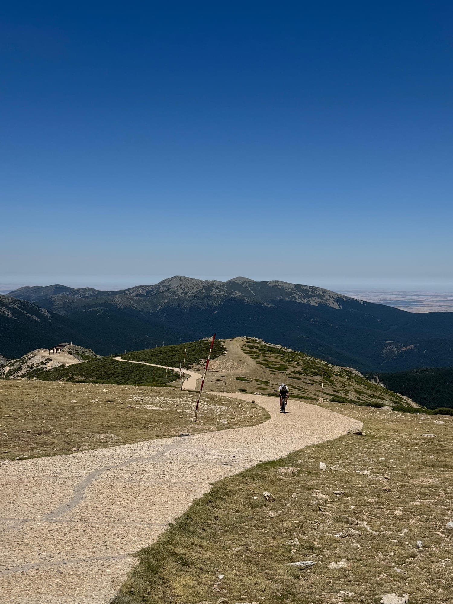
There's one specific moment, always the same, when Madrid disappears. You pass Colmenar, leave the last roundabout behind, and the landscape changes all at once: holm oaks, stone, cows, La Pedriza cut out against the sky, and the whole sierra ahead — still far off, but real now.
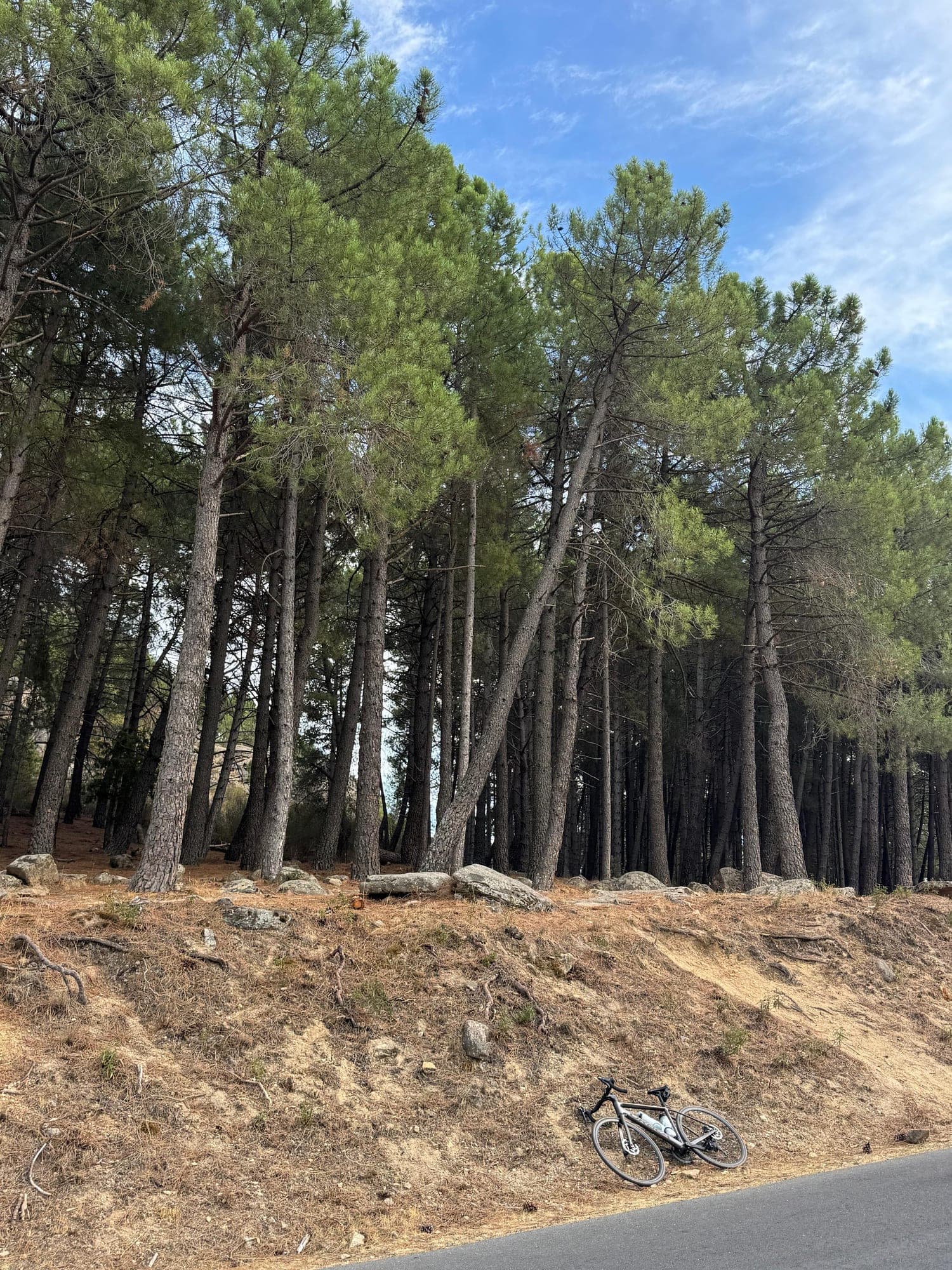
That moment is the reason I ride out from home instead of putting the bike in the car. Because the mountain is earned. You watch it grow kilometer by kilometer, and by the time you finally start climbing, you don't arrive cold from a parking lot: you arrive with a long hour of city already in your legs, and the feeling of having actually escaped. The same street I walk down to buy bread is the one that takes me, without a break, all the way up to 1,800 meters.
From there, the roads open up. Toward Manzanares and La Pedriza. Toward Soto del Real or Guadalix and, from there, to Miraflores de la Sierra, the gateway to the big ones.
Pass season
The season runs roughly from spring to autumn — once the snow up top melts, until the cold puts ice back on the shaded bends. These are the months when the sierra fills with cyclists, and every climb has its own personality.
| Climb | Altitude | From | Km from Madrid | Distance | Avg. grade | Elevation gain |
|---|---|---|---|---|---|---|
| La Pedriza (Quebrantaherraduras) | ~1,080 m | Manzanares el Real | ~48 km | 2.1 km | 8.3% | ~175 m |
| Morcuera | 1,796 m | Miraflores | ~50 km | 8.6 km | 7% | ~600 m |
| Morcuera | 1,796 m | Guadalix | ~42 km | 17 km | ~5.5% | 900+ m |
| Canencia (north) | 1,524 m | M-604 junction | ~90 km (via Morcuera) | 13 km | 3.6% (6.5% last 4 km) | ~470 m |
| Canencia (south) | 1,524 m | Miraflores | ~50 km | 7.7 km | 5% | ~380 m |
| Navafría | 1,773 m | Lozoya | ~82 km (via Morcuera) | 11.4 km | 5.8% (7% last 6 km) | ~660 m |
| Navacerrada | 1,858 m | Cercedilla | ~60 km | 7.5 km | 8% | ~600 m |
| Bola del Mundo | ~2,260 m | Navacerrada pass | ~68 km | 3 km | 11% (almost 700 m over 15%) | ~330 m |
Km from Madrid: by bike from my front door to the foot of each climb, measured on my Strava rides (Cercedilla is an estimate). Out and back to La Pedriza: about 100 km and 900 meters of climbing.
La Pedriza is short, explosive, and surrounded by granite. It's not the hardest climb, but it's the prettiest for a weekday afternoon, and the one I've started from my front door more than any other: I leave after work and I'm back home for dinner. The perfect excuse.
Morcuera is steady, never lets up, and its hardest kilometers hide in the second half. It's the climb I come back to most, and the one that best measures how you're doing.
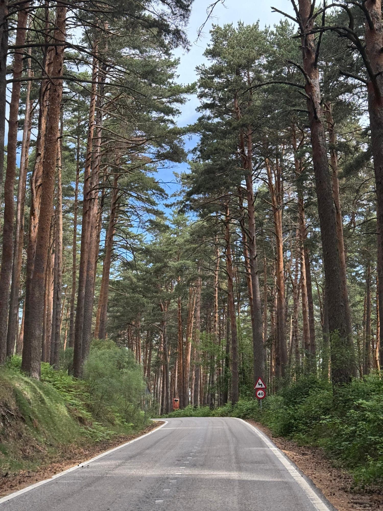
Canencia is the deceptive one. From the north, nine kilometers of false flat through oak trees (my favorite stretch), then four final kilometers that dig in deep. From the south, from Miraflores, it's the most direct way into the valley.
Navafría is gentle at the start and very serious at the end. It's the loneliest climb of the triangle, with dense pine forest and very little traffic.
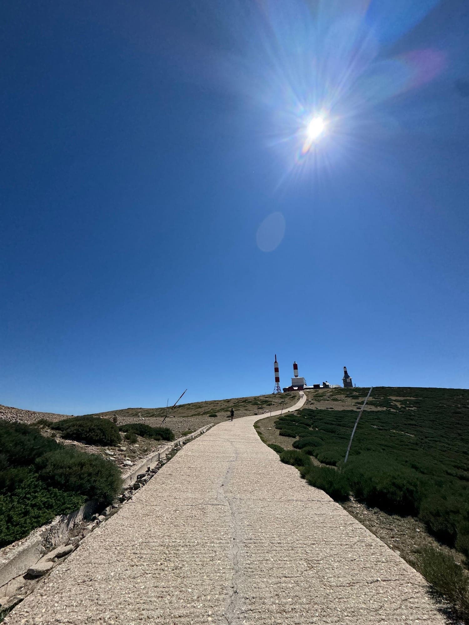
Navacerrada and Bola del Mundo are a different league entirely. And from the pass, if you've still got anything left, the Bola: broken concrete and ramps that show no mercy. You don't climb this one, you survive it. At the top, the best viewpoint in the whole sierra.
The epic part: linking climbs from the city
Climbing one pass is fine. Stringing several together starting from your own front door is a different thing entirely.
The secret is in the Lozoya valley. Morcuera, Navafría and Canencia form a triangle with Rascafría and Lozoya as hinges. You descend Morcuera to Rascafría, ride about 9 km of valley to Lozoya, climb Navafría, drop back down to Lozoya, take the turn toward Canencia, and from its summit descend to Miraflores to close the loop. Between climbs there's 30 to 40 km of valley.
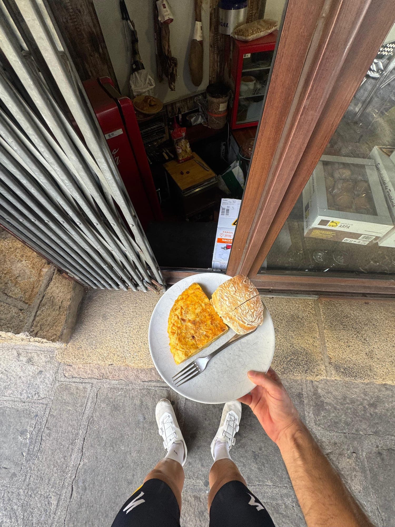
“Just enough to eat something, drink at a fountain, and recover before suffering again.”
From Guadalix, the triple comes out to 110 km and 2,343 meters of climbing. Add the ride there and back from Madrid along the bike lane, and the total shoots past 200 km. One of those days you remember.
A more manageable version — and probably the classic ride for a lot of madrileños: Morcuera + Canencia from home. About 160 km and 2,200 meters. You leave while the city's still asleep, climb Morcuera via Miraflores, cross the valley, climb Canencia from the north, and descend to Miraflores to head back the way you came. When you get home in the afternoon, you have the feeling of having traveled somewhere far away. I don't know another discipline that gives you that.
Heading west, the adventure is the Bola. Navacerrada via the Madrid side, Bola del Mundo, descending to La Granja via the Siete Revueltas, Segovia, and back over the Alto del León. 130 km and almost 2,450 meters, with a continuous climb of nearly 1,400 meters from Villalba to the summit. It's the most alpine route you can do from Madrid.
And if you want to close the full circle, La Pedriza connects to all of this from the south: Manzanares, Soto del Real and Miraflores are about 15 km apart from each other. Pedriza as a starter, Morcuera as the main course.
Why do it this way
You can drive to Miraflores, climb Morcuera, and be eating lunch at home by two. It's efficient. But you lose something.
You lose the crowded lane, the pack that passes you, the moment Colmenar falls behind and the sierra appears. You lose the feeling that the mountain starts at your front door. You lose the ride home exhausted, with the sun dropping over the city and empty legs.
For me, the best part of these rides isn't the summit. It's the last kilometer. Turning onto my street, leaning the bike against the front door, and checking the watch: a hundred-and-something kilometers, two or three climbs, and not a single meter by car. The route opened and closed at the same door. In between, the whole sierra.
Madrid doesn't have the Alps. But it has something a lot of cities don't: the chance to leave home on a bike and be at nearly 1,800 meters before noon. You just have to go out and find it.